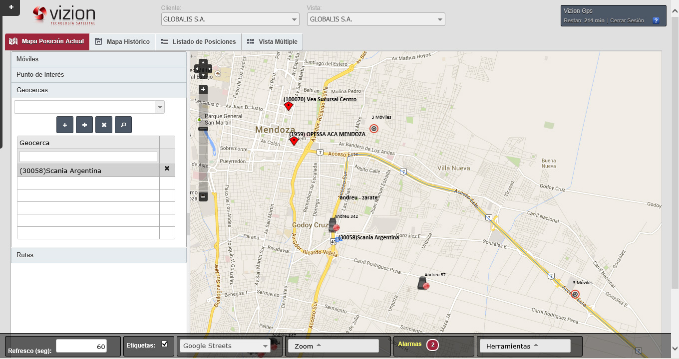
VIZION® offers geographical tools that improve fleet control and information analysis. Routes, geo-fences, and places of interest can be managed to assess behavior, times, and performance of the fleet for the purpose of optimizing efforts.
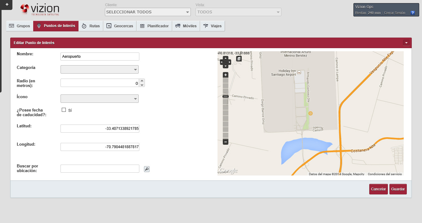
Using this option, places of interest can be created stating their geographical coordinates or addresses. Places of interest created in this way can be visualized in the map and used to create routes and to describe location in reports.
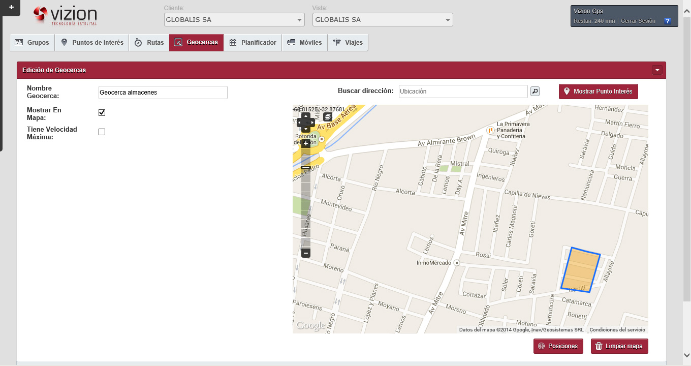
VIZION® can be used to create geo-referenced zones and sub-zones to which speed limits can be defined. E-mails informing entrance to or exit from these areas can be sent automatically.
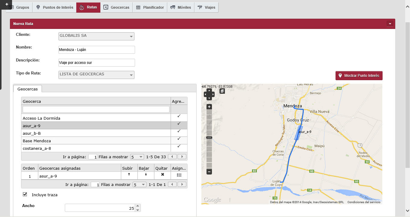
This powerful tool can be used to create trips drawing the route in the map (stating start and end of the trip) or linking different places of the circuit. Route definition can be used to receive information on deviations and speeding associated with one or more vehicles of the fleet.
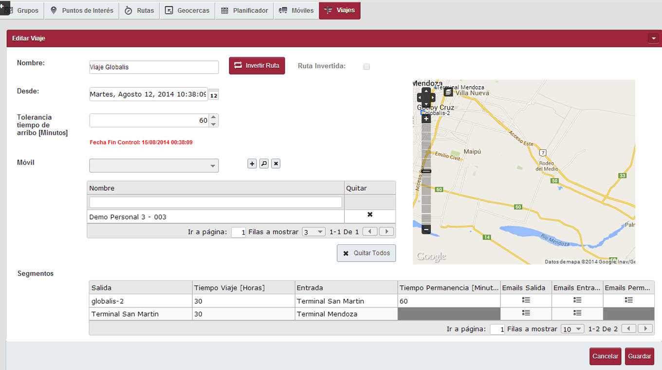
Using this functionality, routes for a certain trip can be allocated to vehicles configuring total time of the trip and stop times scheduled for it. Based on this, notifications can be scheduled to be sent by e-mail if potential deviations occur.